
Gibraltar-Washpool World Heritage Walk (NSW)
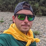
I completed my first marked thru hike in February 2022 — and longest hike to date — walking for a total 50km along the incredible Gibraltar-Washpool World Heritage Walk in Northern NSW, Australia.
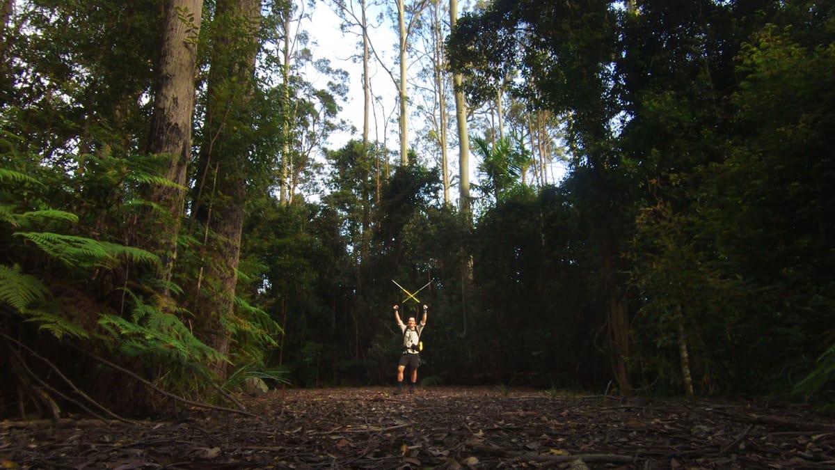
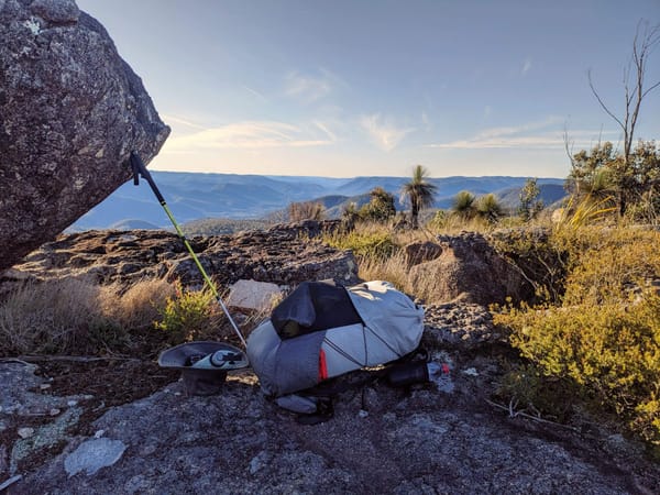
Along the way, I carried one of my 35mm film cameras and shot three rolls of film over the length of the hike with some images and thoughts shared below from this amazing adventure.
Trip Highlights
This hike was a true rugged Australian highlands walk with some highlights and a short video of the trip below.
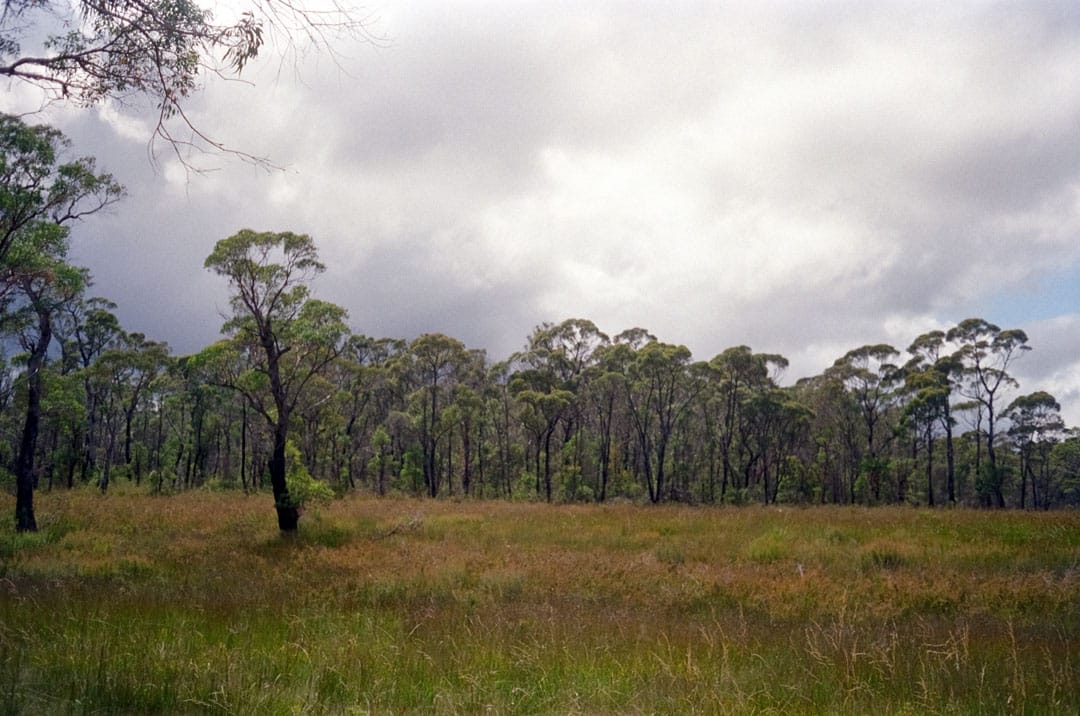
- 50km loop track with lots of addon trails
- World Heritage Gondwana Rainforest
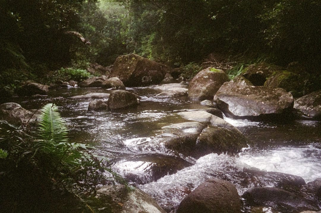
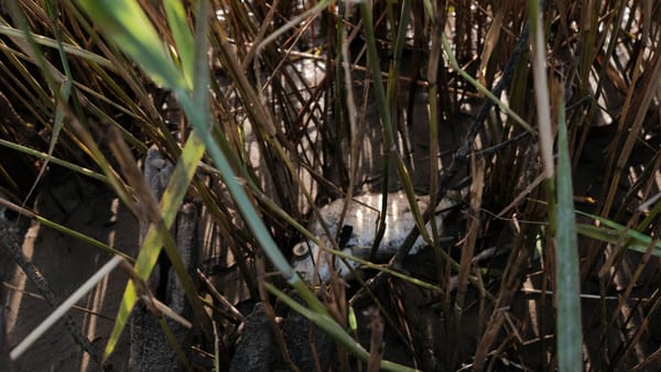
- Oasis wetlands and rocky creeks and platypus
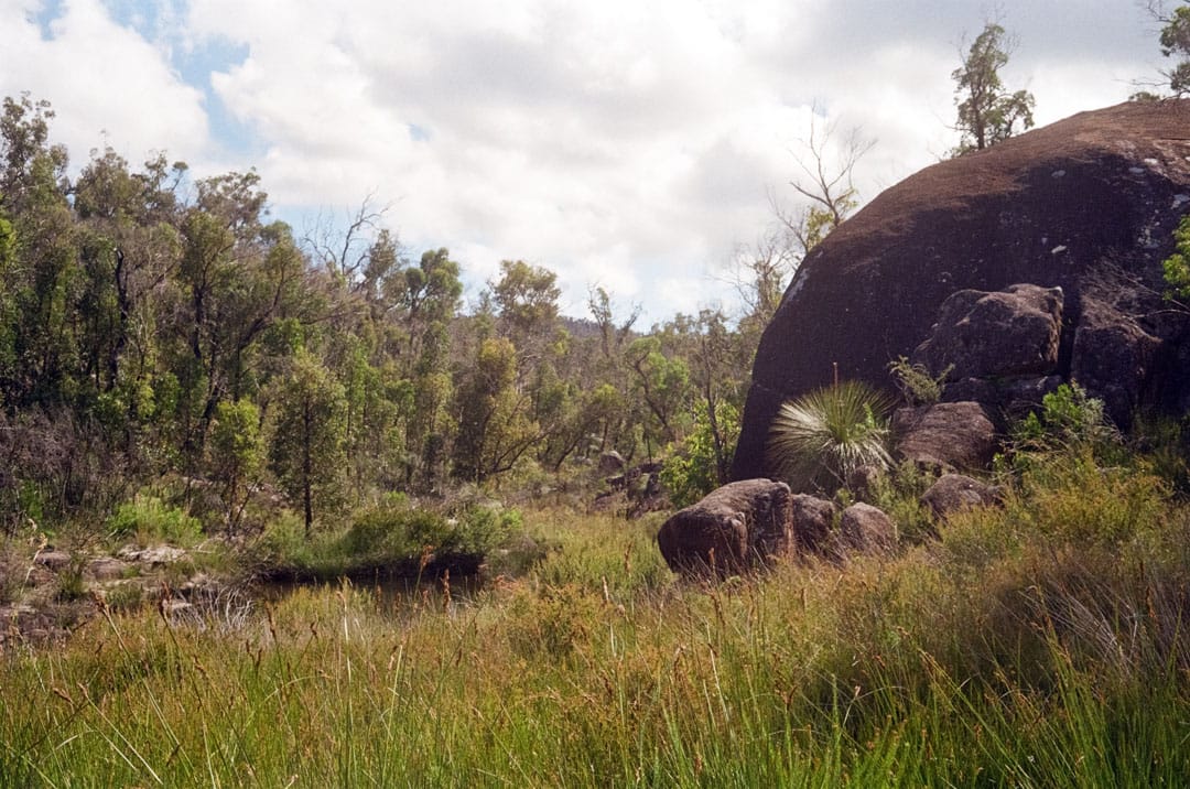
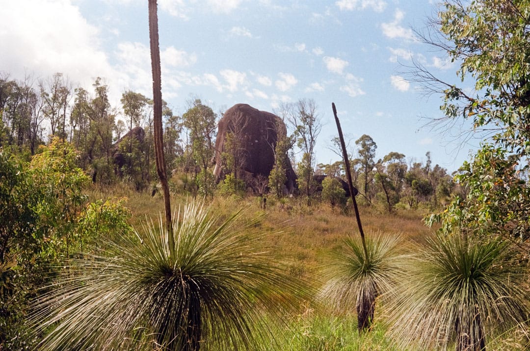
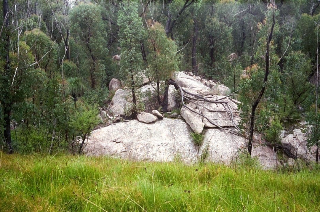
- Huge granite boulders and tors
- Hidden waterfalls and endangered crayfish
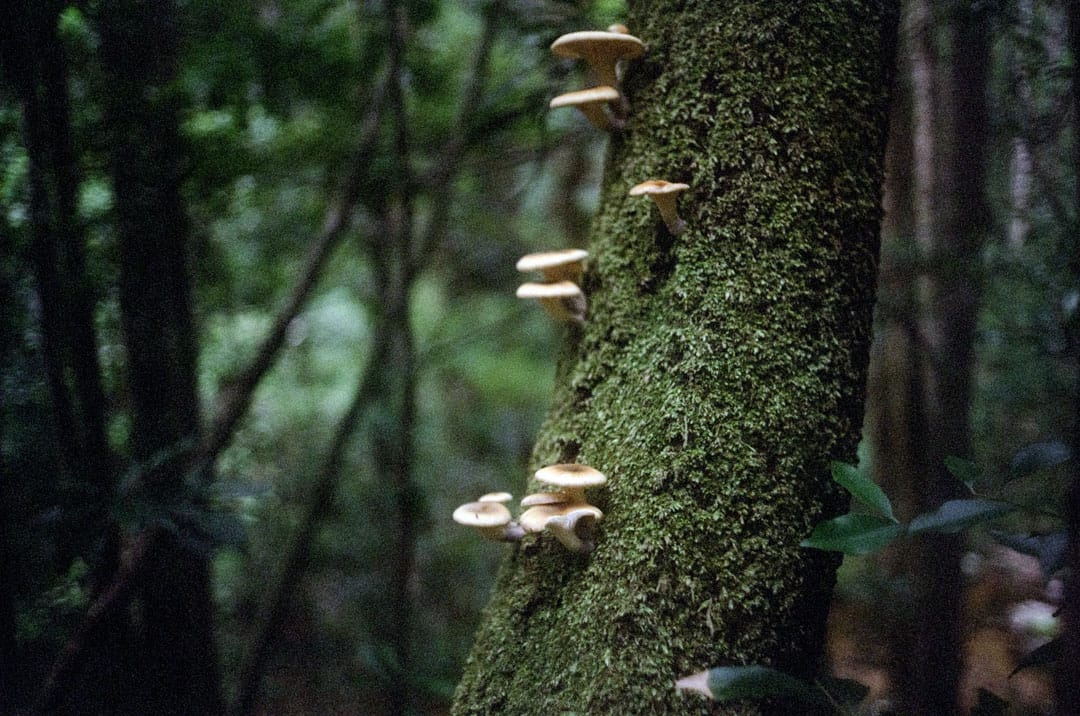
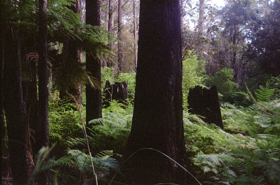
- Tall sclerophyll eucalypt and temperate rainforest
Gibraltar Range & Washpool National Parks
Located within the Northern Tablelands above the Clarence Valley, this 50km loop can be hiked over three to five days, with additional tracks possible to add up to a total of 100km over 5 days total if you wish.
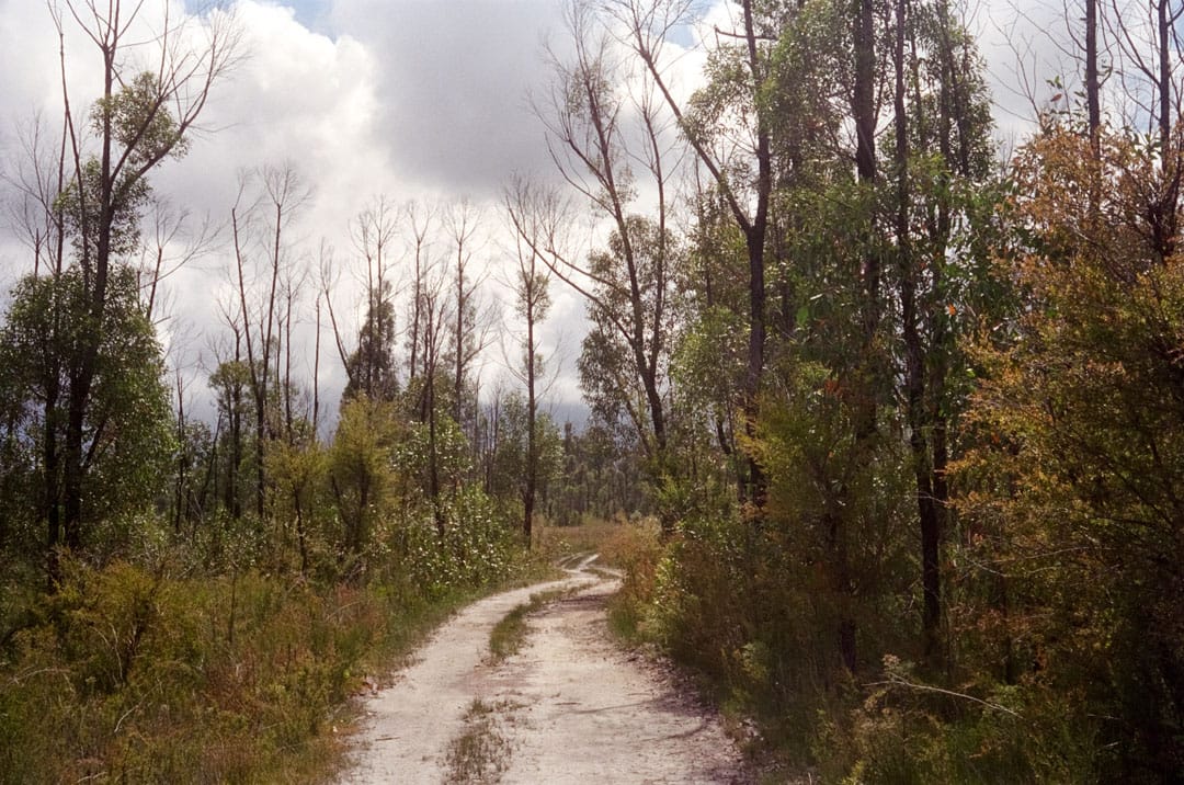
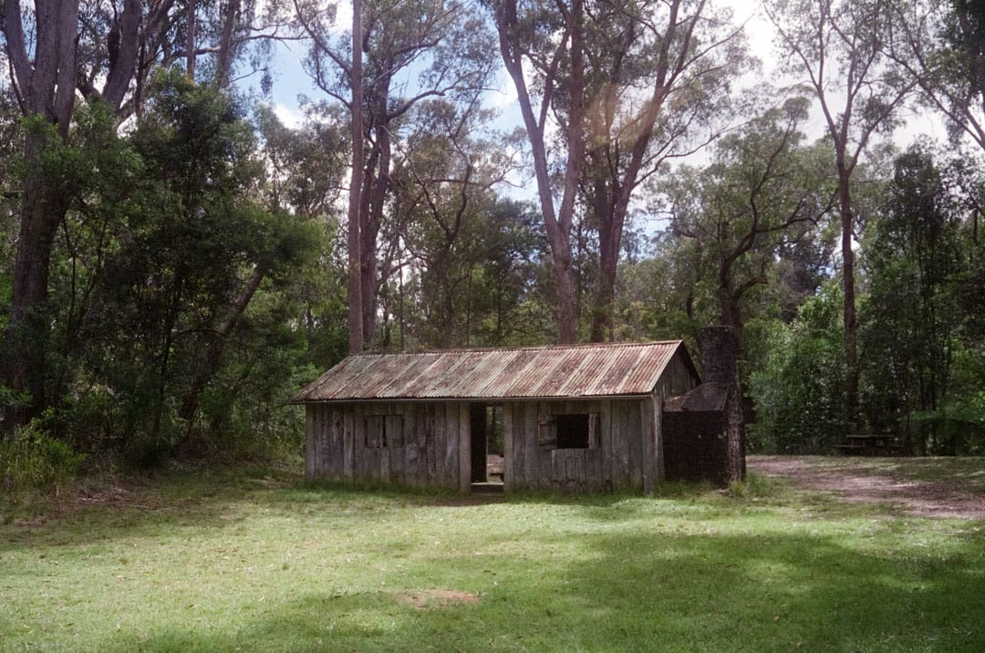
There are remnants of mining, logging and grazing from the 1880s throughout various parts of the walk for those interested in the colonial history of the area.
Gibraltar Range and Washpool National Parks lie within the traditional lands of the Bundjalung, Gumbaingirr and Ngarrabul people.
Day 1
Mulligans Hut to Boundary Falls
Distance: 20km
I started my hike from Mulligans Hut, a popular day-use and campground with lots of parking.
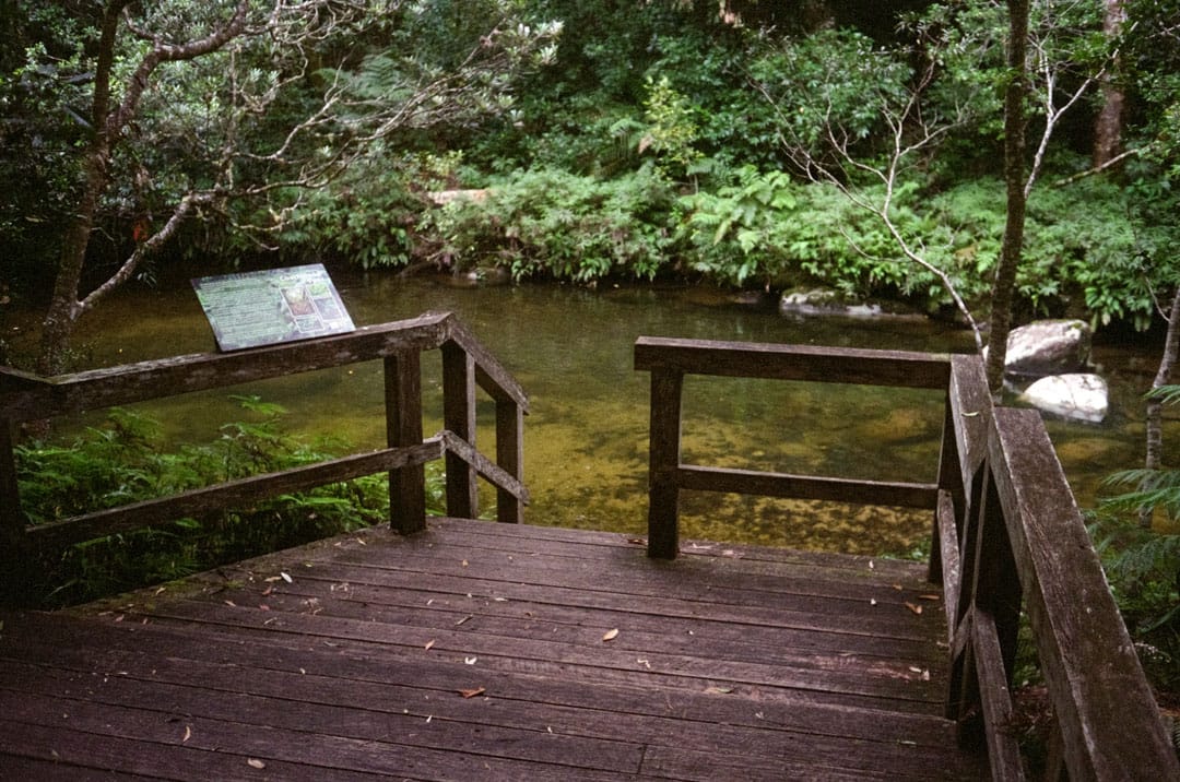
Depending on how far you need to travel, this is an ideal base camp for your first night in order to get a full day on the trail from first sunlight. There are beautiful swimming holes and creeks nearby, plenty of facilities, showers and campsites.
I walked counter-clockwise so I could get into some bigger days early and have a smaller day at the end for the climb out of the gully.
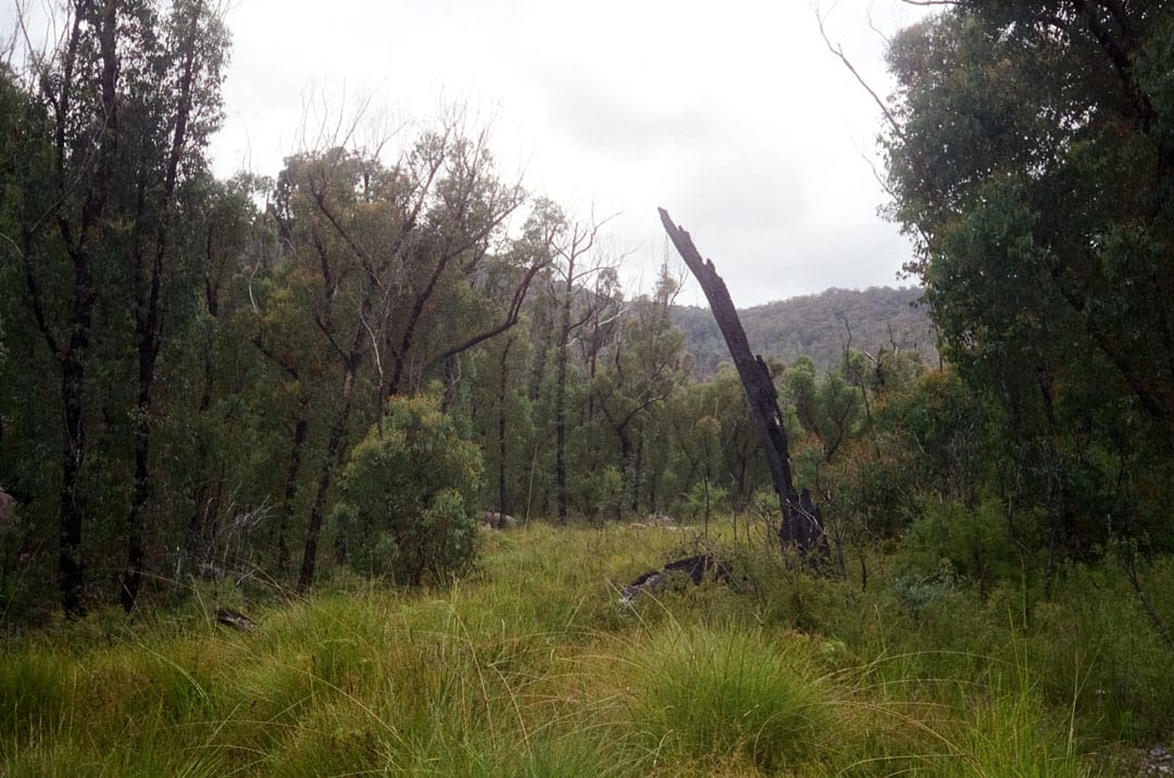
I walked in late summer and we had had significant fires through the parks recently so there was a lot of thick regrowth and fire damage across the landscape.
In drier months, water is harder to find between camps but this was not an issue for me. The dedicated campsites have tank or creek water available year-round.
The walk takes you along grasslands and through granite outcrops before climbing slightly towards a road crossing and finally edging down to Boundary Falls.
There are several additional day walks or add-on trails along this route which can make this leg very long. I would advise to stay at Mulligan's Hut overnight and plan a series of trails to fill in an additional day instead of trying to pack through it all at once.
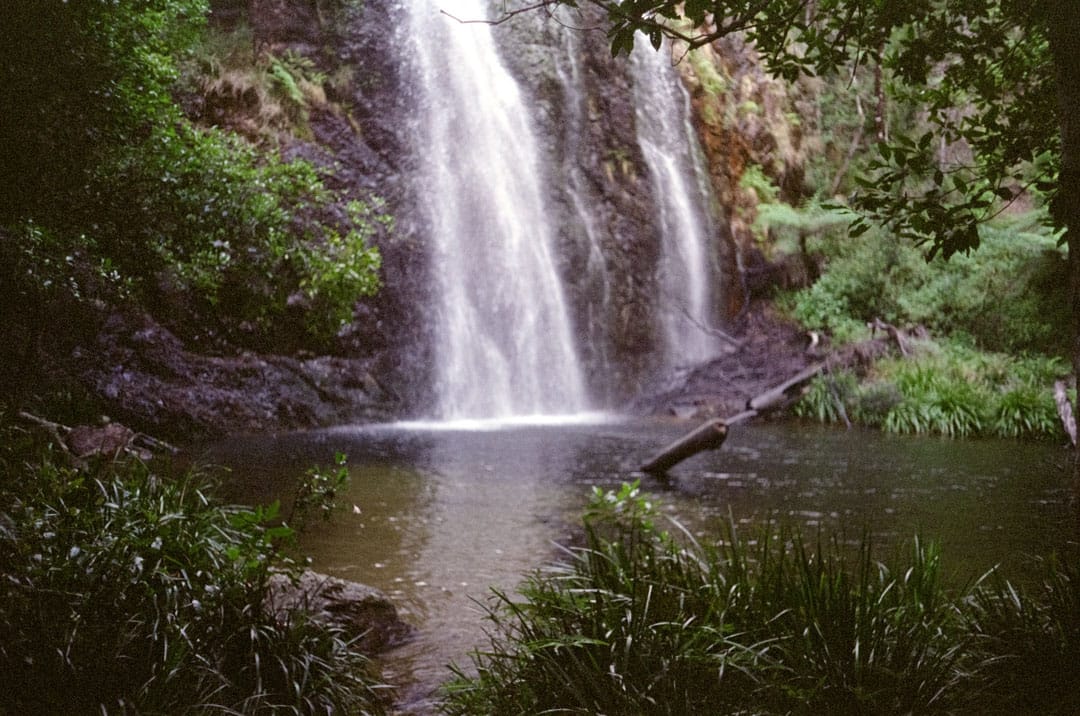
There is a fantastic gully waterfall at Boundary Falls, and you can cool off in the pool below if you need to.
Day 2
Boundary Falls to Coombadjha Campground
Distance: 20km
On the second day, continuing counter-clockwise there is a halfway camp at Grassy Creek that can be used to split your trip into an extra night.
There is also a nearby unmarked summit hike up to The Haystack mountain which I have since completed on another trip.
Grassy Creek is an ideal mid-day or overnight campsite, with clean running water nearby, flat ground and a small fire pit. You could comfortably fit up to four people if hiking in a group, or possibly more if spread out a bit further.
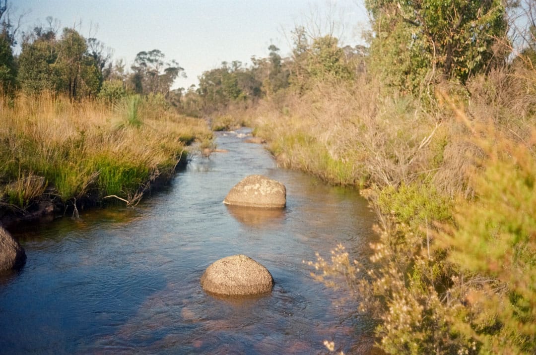
I opted to walk through this time and really enjoyed this section of the trail through some amazing granite country, creeks and waterfalls at both ends.
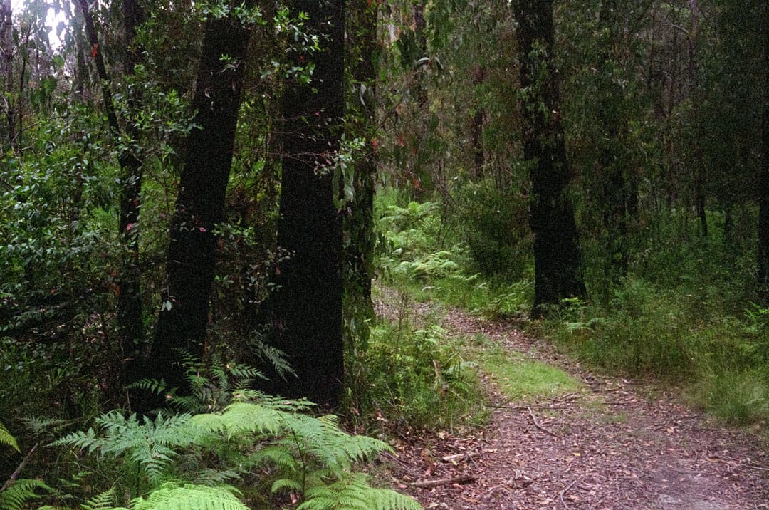
You will walk uphill most of the way to Grassy Creek, before levelling out for some cooler fire trails under thick rainforest canopies before finally descending along Coombadjha Creek.
Day 3
Coombadjha Campground to Mulligans Hut
Distance: 10km
On the final day I started early so didn’t get a lot of time to photograph in the dark understory.
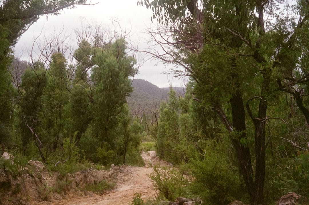
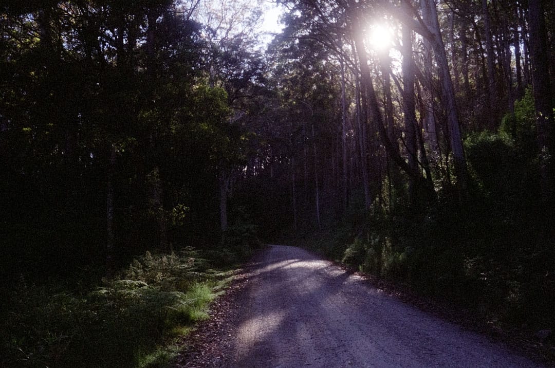
The hike out of Coombadjha back to Mulligans was mostly a road walk back to the highway before winding back through dry forest.
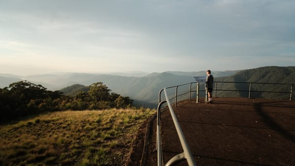
This was a really easy finish to the trip with a lighter pack and I was done by mid-day and free to explore the nearby lookouts and other trails.
You will cross back over the creek towards Mulligans Hut at the end, but there are some additional cascades walks to fill out this leg if you want to spend some extra time here.
Considerations
While I have previously explored this area many times, including many of the other trails, I would highly recommend taking more time to spend 4 or 5 days doing this walk and adding on some extra trails for a more complete experience.
Honourable mentions would include:
I've also completed the Haystack off-trail route which was spectacular, but would probably be best added as a full-day to see sunrise and sunset from the summit.
Winter and autumn are a beautiful time of year in the range, the mists and fogs are magical to walk through, but the shorter days may be limiting and you'll need to carry extra gear to stay warm.
Spring sees an abundance of wildflowers, and the iconic Gilraltar Waratah may be found for those with a keen eye.
I preferred the summer walk for my shorter 3-day trip since the longer days made this easier to fit in, but if it was a dry summer the extra water weight would have made this more difficult.
Definitely book this in — you will be blown away by the landscape.
